GNN Mapping of Existing Vegetation, Pacific Coast States (IMAP)
Project summary
This project involved developing detailed maps of forest vegetation and land cover across all land ownerships in the Pacific Coast States (Oregon, Washington, and parts of California) using gradient nearest neighbor (GNN) imputation.
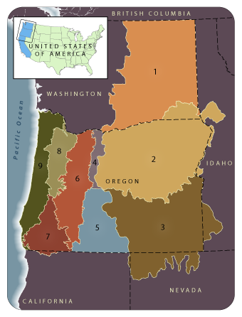
For each of our modeling regions, which approximate Level III ecoregions, we used GNN (Ohmann and Gregory 2002) to map detailed vegetation composition and structure for areas of forest and woodland. GNN uses multivariate gradient modeling to integrate data from field plots with satellite imagery and mapped environmental data. A suite of fine-scale plot variables is imputed to each pixel in a digital map, and regional maps can be constructed for many of the same vegetation attributes available for the plots. Areas of nonforest are masked out using ancillary data. All GNN map products are grid-based at 30-m spatial resolution. See our methods page and publications for more detail about GNN methods, applications, and research.
The GNN mapping utilized plot data from ongoing regional forest inventories conducted by the Forest Inventory and Analysis program (FIA) at the PNW Station, Current Vegetation Survey of Region 6, USDA Forest Service, and the BLM in western Oregon; as well as the Ecology Program of Region 6. The Forest Service's Remote Sensing Applications Center (RSAC) acquired, pre-processed, and mosaicked the Landsat satellite imagery used in mapping.
Research topics addressed during this project were: (1) statistical methods for spatial prediction; (2) landscape characterization (environmental and disturbance factors influencing patterns and dynamics of ecological communities); and (3) scaling and linking of vegetation maps to models of stand and landscape dynamics for regional analysis of management and disturbance effects.
GNN Map Products for IMAP
We developed two types of GNN models for use by the Interagency Mapping and Assessment Project (IMAP): one emphasizing species composition ('species model') and the other a combination of species composition and forest structure ('species-size model'). See our methods page for more information.
The GNN map products of the species-size model type that were developed for IMAP were based on 2000-2001 Landsat imagery, and have now been replaced by more current versions, which can be downloaded here. The GNN species models from the IMAP project can be downloaded from here.
Collaborators and Support
The project was conducted by the LEMMA team (PNW Research Station and Oregon State University) at the Corvallis Lab, in collaboration with the Interagency Mapping and Assessment Project (IMAP), the Remote Sensing Applications Center, and Forest Inventory and Analysis at the PNW Research Station. Funding was provided by the Western Wildlands Environmental Threats Assessment Center, PNW Research Station.
Publications, Reports, and Presentations
Loading publications ...